Object Detection on Satellite Images
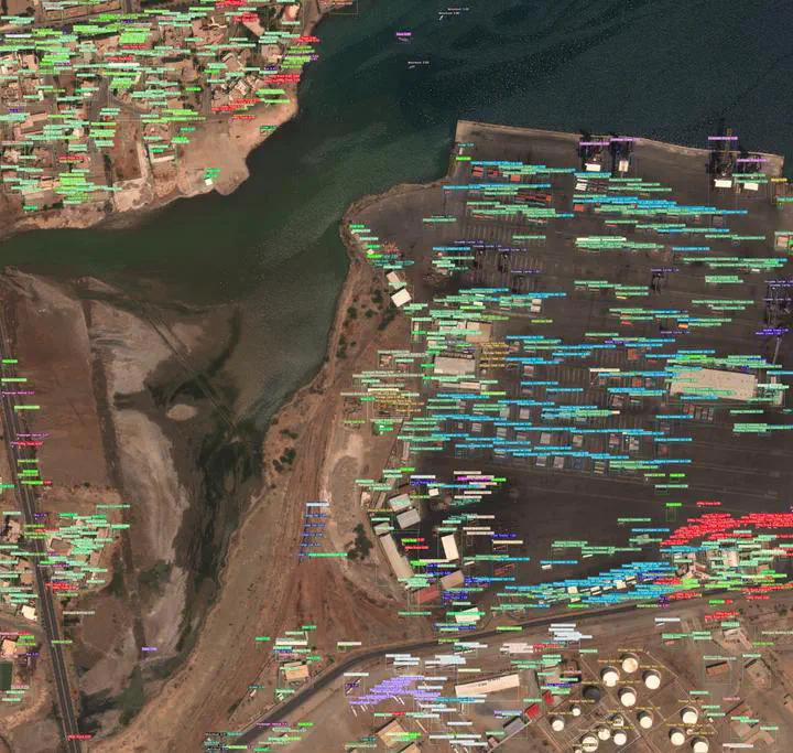 Photo by rawpixel on Unsplash
Goal: implement and replicate the model from the paper “Generating Interpretable Poverty Maps Using Object Detection in Satellite Images”.
Approach:
- Trained a YOLOv3 object detection model on satellite imagery
- Built a pipeline to count detected objects per image
- Used object counts as interpretable features for downstream poverty prediction

Jeremiah Fadugba (Jerofad)
Data Scientist | Machine Learning Engineer
My current research interests include Medical Imaging, Machine Learning, Deep Learning, and Trustworthy ML.